Hypothetical master plans for the Stonybrook neighborhood area and the Arborway Yard site—featuring dense buildings, plazas and a rebirth of the buried Stony Brook—were created by Wentworth Institute of Technology students this year.
The plans were a final group project in the design studio class for fourth-year architecture students.
The nature of the class dictates that they focus on mixed-use developments, with “lots of community activity mixed in with housing,” WIT Professor Terry Moor told the Gazette.
The area covered in the hypothetical project stretched from the Arborway north to McBride Street and between the Southwest Corridor Park and Forest Hills Street. It is unclear why the class chose that area. The plans are completely hypothetical, as in real life they cover many existing buildings.
Due to finals, no students were available for an interview. Moor was one of five teachers supervising five student groups.
All five groups get the same area to plan for, but this year, Moor said the five independently-created plans wound up “very similar” to each other, emphasizing transit-oriented developments, bicycle connections and de-emphasizing cars and parking.
Moor said the students consulted with community members including Michael Epp and Bill Reyelt, who have both been involved in advising major plan and projects for the area.
Student proposals included exposing the currently buried Stony Brook, a stream that flows underground. They also aimed to better connect the Southwest Corridor Park to Franklin Park; create a “civic center” plaza next to English High—the site of a real-life proposed mixed-use housing development; and minimize the space allotted to the yet-unfunded permanent MBTA Arborway bus maintenance yard.
“[The students] tried to minimize it, get to as small an area as possible, and tried to make as walkable as possible,” Moor said. “Our plans were very ambitious, but urban in nature.”
“I’m not sure everyone will like it, but hopefully it will inspire some thoughts,” Moor said.

The student master plan, with the Arborway at the bottom and Washington Street running along the left-hand side, includes a curving blue line showing an unburied Stony Brook flowing through the development. (Courtesy Image)
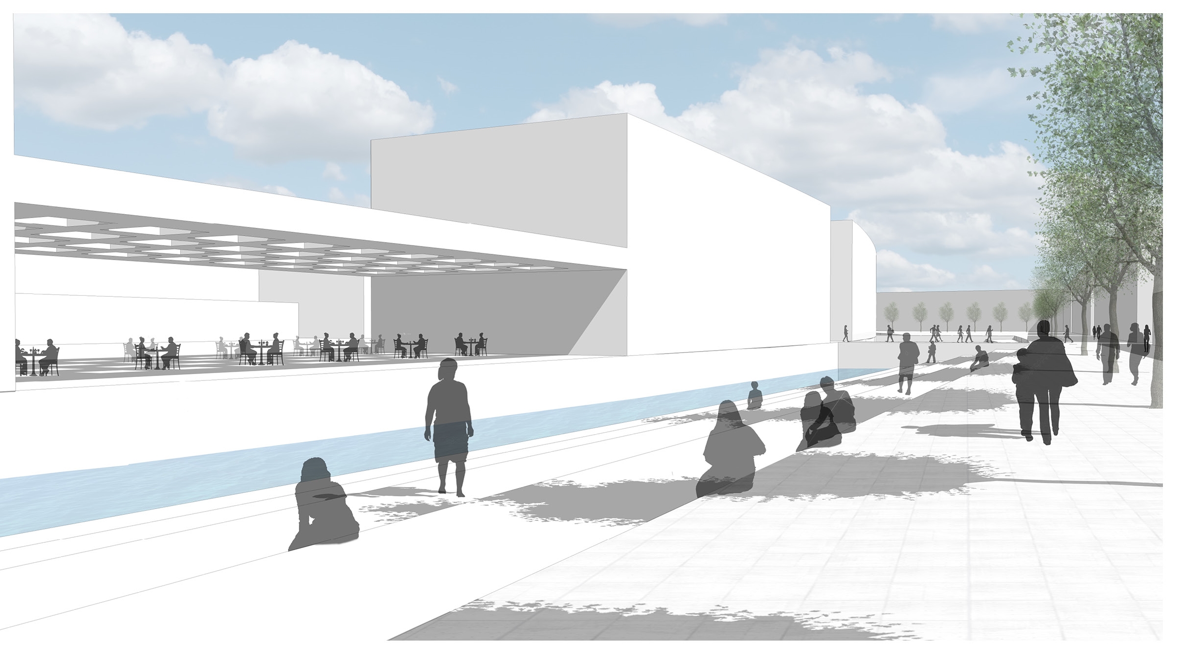
An illustration suggesting how pedestrians and diners might enjoy the exposed Stony Brook in the master plan. (Courtesy Image)